Waterway Safety Monitoring System
All-weather wide-area sensing,Radar-video fusion,Virtual geofencing,Closed-loop alert and evidence
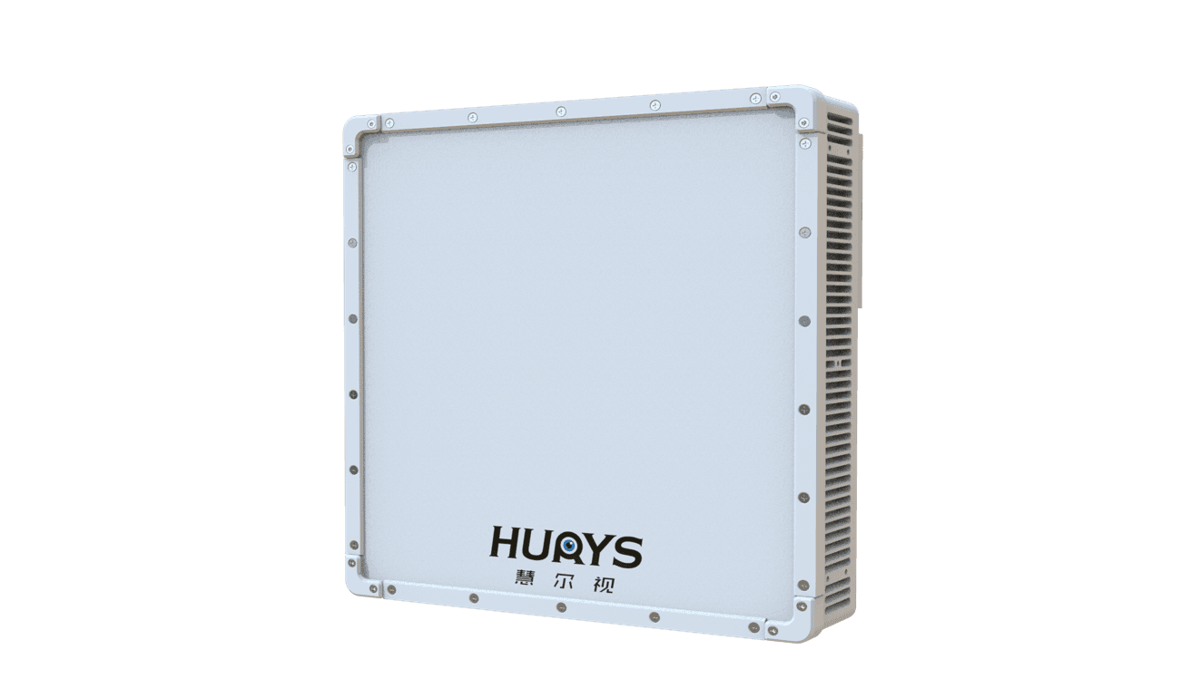
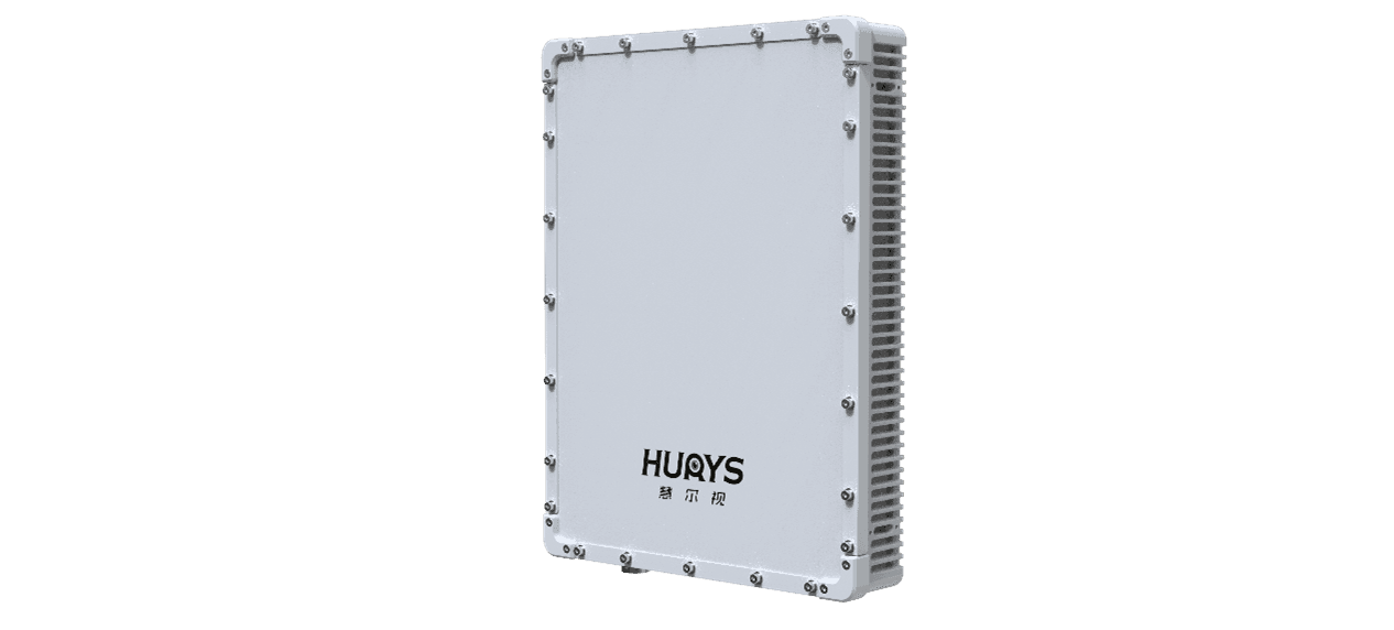
Reservoirs, drinking-water source zones, aquaculture areas, and protected wetlands often extend across large and geographically complex waters where periodic patrols cannot provide continuous coverage. The HURYS Waterway Safety Monitoring System combines shore-based phased-array radar, radar-cued electro-optical sensors, edge intelligence, and a unified management platform. It continuously detects and tracks water-surface targets, applies virtual geofences and event rules, directs cameras for visual verification, and retains linked radar and video evidence. The system enables operators to identify unauthorised entry and suspicious activity earlier, coordinate an informed response, and manage critical waterways through a traceable closed loop of detection, verification, warning, response, and review.
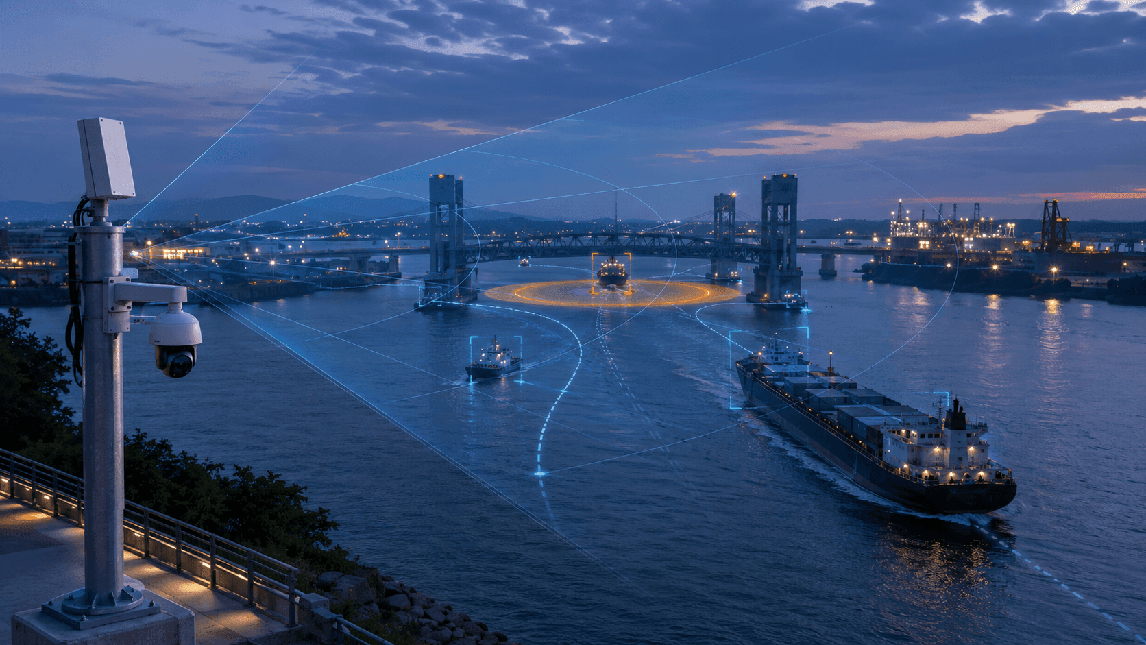
Built for large-area, low-visibility, and low-staffing environments, the system extends monitoring beyond the reach of fixed cameras and manual patrols. Radar provides continuous active sensing across the water surface, while dual-spectrum PTZ cameras are automatically cued to the target coordinates for identification and evidential recording. Edge analytics associate radar tracks with video, filter common water-surface interference, and evaluate events by location, time, target movement, and configured access rules. Operators receive one consistent operating picture instead of disconnected sensor feeds.
Wide-Area Awareness, Proactive Waterway Protection
Conventional waterway protection is often organised around periodic patrols, fixed cameras, and incident reports. These methods remain important, but they are inherently limited across large reservoirs, irregular shorelines, offshore aquaculture areas, and restricted water-source zones. A camera can only observe its field of view, patrol personnel cannot be everywhere at once, and an event may already be over before it is discovered.
HURYS introduces an active radar-video monitoring approach. Shore-based phased-array radar continuously searches the water surface and reports target position, speed, direction, and track. When a target enters a virtual geofence or meets an event rule, the system automatically cues an electro-optical sensor to verify the target and record the event. Edge intelligence associates radar and video information, while the platform presents the event, warning status, evidence, and response progress in one workflow.
This changes waterway safety from intermittent observation and post-event investigation to continuous awareness, early warning, and evidence-based response.
System Architecture
The system connects wide-area sensing, intelligent analysis, operational applications, and coordinated response in one closed-loop architecture. Sensing Layer — Shore-based phased-array radar provides active, wide-area detection and continuous multi-target tracking. Dual-spectrum PTZ cameras receive radar coordinates for visual and thermal verification, target observation, and evidential recording. Multiple sites can be deployed to match the waterway shape, terrain, and coverage requirements. Edge Intelligence Layer — Edge computing nodes perform radar track processing, radar-video association, target continuity management, geofence and rule evaluation, and filtering of common interference such as waves, rain, birds, and unstable reflections. Only qualified events are forwarded for platform-level handling. Platform Application Layer — The management platform displays live target tracks, protected zones, alarm locations, camera views, historical events, and evidence records on a unified map. Operators can configure monitoring zones, time schedules, target rules, warning levels, and event-handling procedures for different operational areas. Response and Evidence Layer — Alerts can be delivered to the monitoring centre or authorised mobile users. Subject to available interfaces, the system can coordinate with patrol personnel, loudspeakers, drones, unmanned surface vessels, and other response resources. Radar replay, snapshots, video clips, operator actions, and event outcomes are retained as a traceable event record. Operational flow: continuous radar detection → target tracking and rule evaluation → radar-cued visual verification → graded warning → coordinated response → evidence retention and event review.
Challenges and Applications
Protecting a critical waterway requires more than installing additional cameras. The system must discover targets beyond the camera’s initial field of view, maintain awareness in poor visibility, determine whether an entry is authorised, and preserve evidence that can support follow-up action. Operational Challenges Large areas and irregular shorelines — Reservoirs, fisheries, and protected waters can cover extensive areas with coves, islands, vegetation, and terrain that make patrol-only coverage incomplete. Small and non-cooperative targets — Small boats, rafts, swimmers, and other water-surface targets may not transmit AIS and can be difficult to identify at night or at long distance. Low visibility and continuous operation — Fog, rain, darkness, glare, and backlighting reduce the reliability of visual-only monitoring. Complex water-surface interference — Waves, rain, birds, floating objects, and other transient returns can create false or unstable detections unless the sensing data is intelligently filtered. From detection to enforceable evidence — An alarm alone may not establish target identity, behaviour, location, time, or the complete sequence required for investigation and enforcement. Limited personnel and delayed response — A small patrol team may need to cover multiple sites, making early verification and accurate resource coordination essential. What These Challenges Require These conditions call for continuous wide-area sensing, reliable tracking of non-AIS targets, radar-cued visual and thermal verification, flexible virtual geofences, event rules based on zone and time, graded alarms, multi-resource response coordination, and linked radar-video evidence. HURYS integrates these requirements into one operational system rather than a collection of isolated devices. Typical Applications Drinking-water source protection — Monitors restricted source-water zones and provides early warning of unauthorised vessel or personnel entry. Reservoir and dam-area security — Supports continuous awareness across large water surfaces, dam approaches, intake areas, and other controlled zones. Aquaculture and fishery protection — Detects unauthorised night-time access and suspicious vessel activity around farms, breeding zones, and managed fishing waters. Wetland and ecological reserve monitoring — Tracks water-surface activity in protected habitats while reducing the need for continuous on-site patrol presence. Restricted waterfront and managed recreation zones — Supports time-based and zone-based access control for swimmers, small craft, jet skis, and other recreational activity.
All-Weather Wide-Area Detection and Tracking
Phased-array radar actively monitors the water surface and continuously outputs target position, speed, direction, and movement track without depending on target-borne transponders or ambient lighting. Its wide-area coverage allows operators to discover targets before they reach a camera’s original field of view, making it well suited to large reservoirs, long shorelines, and distributed protected zones.
Edge analytics use temporal, motion, and spatial characteristics to suppress common interference from waves, rain, birds, and unstable water-surface reflections. Valid targets are assigned persistent track identities so that their movement can be followed over time and across overlapping radar coverage areas. Multiple radar sites can be combined to extend coverage around complex terrain and reduce sensing gaps.
The platform displays live tracks and movement history on a map, giving operators a continuous, all-weather operating picture and a reliable data foundation for geofence alerts, camera cueing, and event assessment.
Radar-Cued Verification and Closed-Loop Response
Wide-area radar detection answers “where is the target?” Radar-cued electro-optical sensing answers “what is happening?” When a tracked target enters a protected zone or triggers a configured rule, the system directs the PTZ camera to the target coordinates and maintains visual or thermal observation. Radar and video information are linked in the same event record, allowing operators to verify the target and assess the situation without manually searching across multiple camera views.
Event rules can be configured by zone, time period, target movement, loitering behaviour, and operational policy. Qualified events generate graded alerts with location, track information, snapshots, and video clips. Operators can acknowledge, assign, escalate, and close an event through a standard workflow. Where interfaces are available, the platform can also coordinate loudspeakers, patrol personnel, drones, unmanned surface vessels, or other response resources.
The system retains radar replay, video evidence, alarm history, operator actions, and handling results, creating a traceable chain from initial detection to final review.
Problems We Solve in Waterway Safety Monitoring
HURYS integrates active sensing, radar-video verification, event intelligence, response coordination, and evidence management to address the operational gaps of conventional waterway protection. Patrol coverage gaps — Continuous wide-area radar monitoring supplements periodic patrols and reduces dependence on personnel being physically present at every location. Camera blind zones and search delays — Radar discovers targets beyond the initial camera view and automatically cues the appropriate PTZ sensor to the target coordinates. Missed non-AIS and night-time activity — Active radar sensing detects common water-surface targets without requiring a transponder or daylight. High false-alarm and verification workload — Edge filtering and radar-video association help operators distinguish qualified events from transient water-surface interference. Rigid monitoring boundaries — Software-defined geofences, schedules, and event rules allow different zones to be managed according to their risk and access policies. Fragmented response processes — A unified event workflow connects alert receipt, verification, assignment, response progress, closure, and review. Incomplete evidence for follow-up action — Linked tracks, radar replay, snapshots, video clips, timestamps, and handling records create a traceable evidence package. The result is wider coverage with limited personnel, earlier event awareness, faster verification, more focused response, and stronger evidence support for routine management, incident investigation, and enforcement.
HURYS Makes Waterway Safety Management Truly “Proactive”
Traditional patrol-based management often discovers risk after an unauthorised entry or suspicious activity has already occurred. HURYS moves waterway protection forward in time by continuously sensing the protected area, identifying rule violations, verifying targets, and organising response information before an event escalates.
Core Value: From patrol snapshots to continuous awareness — Wide-area radar maintains a live operating picture across the protected water surface. From camera searching to automatic verification — Radar cues visual and thermal sensors directly to the target location. From fixed boundaries to intelligent geofencing — Zones, schedules, and event rules adapt monitoring to different risk and access policies. From isolated alarms to coordinated response — Qualified events carry the location, track, image, video, and handling information needed for action. From manual records to traceable evidence — Radar replay, media files, timestamps, and operator actions remain linked throughout the event lifecycle. From reactive patrol to proactive protection — Earlier detection and verification give operators more time to prevent, contain, or document unauthorised activity. By connecting wide-area sensing, precise verification, rule-based warning, coordinated response, and evidence retention, HURYS turns waterway safety from periodic patrol into continuous, proactive protection.